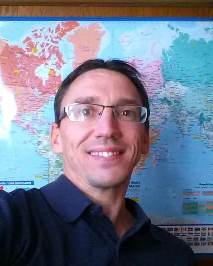
Portrait of Vincent Le Falher

Vincent Le Falher

Independent visiting researcher - Université de Montréal
Supervisor
Research Topics
Active Learning
Applied AI
Applied Machine Learning
Biodiversity
Computer Vision
Deep Learning
Full Stack Development
Satellite Remote Sensing

Publications

Seeing both the forest and the trees: An automated workflow for ultra‐high‐resolution drone imaging of tropical canopies
Guillaume Tougas
Helene C. Muller‐Landau
Gonzalo Francisco Rivas‐Torres
Thomas R. Walla
M. Benavides Hernández
Adrian Buenaño
Anna Weber
Chambers Jeffrey Q.
Jomber Chota Inuma
Fernando Araúz
Jorge Valdes
Andrés Hernández
David Brassfield
Paulo Araujo Filho
Vicente Vasquez
Adriana Simonetti … (see 8 more)
Daniel Magnabosco Marra
Caroline de Moura Vasconcelos
Jarol Fernando Vaca
Geovanny Rivadeneyra
José Illanes
Luis A. Salagaje-Muela
Jefferson Gualinga
Jeffrey Q. Chambers
Abstract Tropical forest canopies host diverse tree and liana assemblages, yet key foliar and reproductive traits needed for taxonomic ident… (see more)ification of canopy plants are often difficult to see from the forest floor, creating a bottleneck in inventories. We introduce a drone‐based workflow that automatically acquires hundreds of close‐up, ultra‐high‐resolution photographs (~0.4 mm pixel −1 ) of selected tree crowns per day, enabling efficient botanical and ecological studies of canopy plants (demo: https://youtu.be/80goMEifpc4 ). The approach leverages a compact DJI Mavic 3 Enterprise (M3E) with wide‐angle and telephoto cameras to (i) generate a high‐resolution digital surface model and orthomosaic via structure‐from‐motion photogrammetry and (ii) capture close‐up photographs from ~6 m above the canopy at preplanned locations. Photographs are accurately (13 cm error) geolocated with real‐time kinematic (RTK) global navigation satellite system to support spatial co‐registration with photo
Seeing the forest and the trees: a workflow for automatic acquisition of ultra-high resolution drone photos of tropical forest canopies to support botanical and ecological studies
Guillaume Tougas
Helene C. Muller-Landau
Gonzalo Rivas-Torres
Thomas R. Walla
Melvin Hernández
Adrian Buenaño
Anna Weber
Jeffrey Q. Chambers
Jomber Chota Inuma
Fernando Araúz
Jorge Valdes
Andrés Hernández
David Brassfield
P. Sérgio
Vicente Vasquez
Adriana Simonetti … (see 7 more)
Daniel Magnabosco Marra
Caroline de Moura Vasconcelos
Jarol Fernando Vaca
Geovanny Rivadeneyra
José Illanes
Luis A. Salagaje-Muela
Jefferson Gualinga
Tropical forest canopies contain many tree and liana species, and foliar and reproductive characteristics useful for taxonomic identificatio… (see more)n are often difficult to see from the forest floor. As such, taxonomic identification often becomes a bottleneck in tropical forest inventories. Here we present a drone-based workflow to automatically acquire large volumes of close-up, ultra-high resolution photos of selected tree crowns (or specific locations over the canopy) to support tropical botanical and ecological studies ( https://youtu.be/80goMEifpc4 ). Our workflow is built around the small, easy-to-use DJI Mavic 3 Enterprise (M3E) drone, which is equipped with a wide-angle and a telephoto camera. On day one, the pilot maps a forest area of up to ∼200 ha with the wide-angle camera to generate a high-resolution digital surface model (DSM) and orthomosaic using structure-from-motion (SfM) photogrammetry. On subsequent days, the pilot acquires close-up photos with the telephoto camera from up to 300 selected canopy trees per day. These close-up photos are acquired from 6 m above the canopy and contain a high level of visual detail that allows botanists to reliably identify many tree and liana species. The photos are geolocated with survey-grade accuracy using RTK GNSS, thus facilitating spatial co-registration with other data sources, including the photogrammetry products. The primary operational challenge of our workflow is the need to maintain RTK corrections with the drone to ensure that close-up photos are acquired exactly at the predefined locations. The maximum operational range we achieved was 3 km, which would allow the pilot to reach any tree within a ∼2800 ha area from the take-off point. Although our workflow was developed to support taxonomic identification of tropical trees and lianas, it could be extended to any other forest or vegetation type to support botanical, phenological, and ecological studies. We provide harpia , an open-source Python library to program these automatic close-up photo missions with the M3E drone ( https://github.com/traitlab/harpia ). We provide harpia , an open-source Python library to program these automatic close-up photo missions ( https://github.com/traitlab/harpia ). Drone imagery and labelled close-up photo data are not yet publicly available because they were acquired with the goal of publishing benchmark machine learning datasets and models for tree and liana species classification and prior publication of the data would jeopardize this future publication.