Accelerating Wildfire Hazard Mapping Across Canada with AI
An artificial intelligence (AI) surrogate model accelerates national wildfire hazard mapping from days to seconds to help support prevention efforts.


The upcoming meeting, taking place on November 10 at Mila, will explore how we can collectively develop, govern, and deploy high-performing, reliable, and secure agentic systems by connecting academic researchers, industry experts, and practitioners.
This part-time program is built for Venture Scientists who are testing their appetite for entrepreneurship. You have until October 5, 2026 to apply.

Learn how to leverage generative AI to support and improve your productivity at work. The next cohort will take place online on October 6 and 8, 2026.
An artificial intelligence (AI) surrogate model accelerates national wildfire hazard mapping from days to seconds to help support prevention efforts.
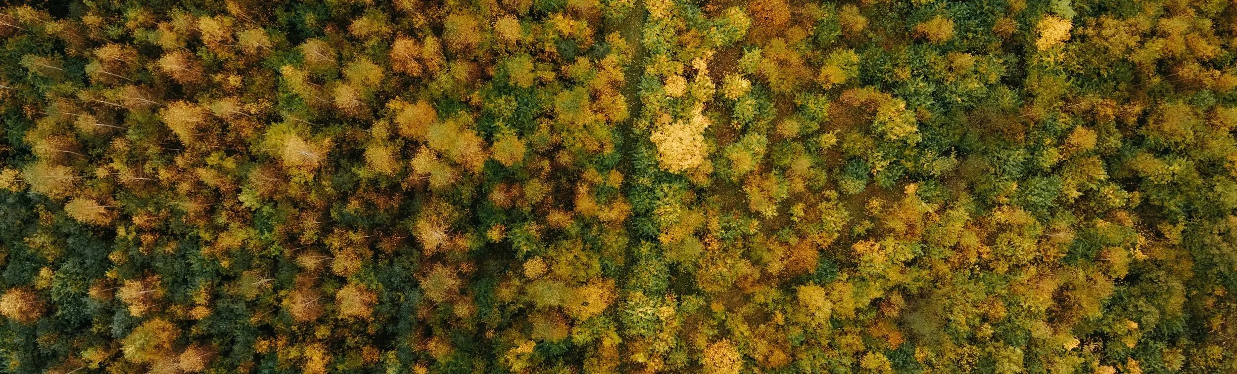
In Canada, wildfire seasons are becoming longer and more intense, marking four consecutive years with over 4 million hectares burned, peaking at 15 million hectares in 2023. Faced with this new reality, preventive measures, fuel management, and land-use planning have become urgent and more critical. To address this, Natural Resources Canada (NRCan) maps wildfire hazards on both regional and national scales using the Canadian BurnP3/BurnP3+ simulator. However, the simulation framework is computationally expensive such that it takes days to map a single region in Canada. As a result, it took NRCan over a year to produce the 2026 map, including multiple re-runs and recalibration, making frequent updates to the map unrealistic with the current framework.
Mila’s applied research team and NRCan scientists collaborated for over a year to develop an AI surrogate model that emulates BurnP3+ process achieving a speedup ranging from 800 to 3,400 times faster. Capable of recognizing the territory's complex spatial patterns, it allows forestry scientists and analysts to evaluate thousands of scenarios based on different weather, topography, and vegetation configurations with high fidelity to BurnP3+ in seconds.
The project aims to significantly reduce the computation times and costs required to map wildfire hazards on both regional and national scales.
More broadly, this tool allows provinces, municipalities, and industry partners to proactively plan preventive wildfire measures, fuel management and land use investments. In the long term, the project aims to strengthen Canadian sovereignty regarding planning capacities in the face of climate risks. Finally, the methodology, the developed code, and the AI model are open-source to allow research to progress on this type of issue and enable its application to other countries or other fields of environmental risk management.

All BurnP3/BurnP3+ users across Canada can use the model. This includes NRCan teams, government agencies, as well as many others in the industry where wildfire modelling is critical.
According to our evaluation metrics, counterfactual sensitivity analyses validated by NRCan wildfire experts and evaluation on other regional studies, the AI model provides a sufficiently accurate and robust approximation of BurnP3+, compared to the extraordinary speedup it provides.
Standard BurnP3+ simulations are computationally expensive, requiring nearly two days (38.9 hours), 32 CPU cores, and over ~101 GB of RAM to map a single 130,000 km2 region in Canada.
Mila's AI surrogate model completes end-to-end evaluation of that exact same region in seconds:
In practice, this transforms wildland fire modeling from an overnight batch process into a real-time, interactive decision-making tool.
Mila scientists developed an AI surrogate modelling framework, rather than just one model. The national AI surrogate model is one application of the framework. Therefore, Mila provides a) The framework to systematically train, evaluate, fine-tune and deploy deep learning surrogate models across new geographical regions in Canada, b) A suite of domain-specific metrics alongside counterfactual evaluation protocols designed to probe spatial generalization and responses to out-of-dataset interventions.
The AI model acts more as an emulation rather than creating new data. Since the AI model was trained on existing BurnP3+ outcomes, the risks are very low.
The next objective is to distribute the model and tool to the BurnP3+ user community and continue conducting several tests to fully realize its capabilities and understand its operational limitations.