
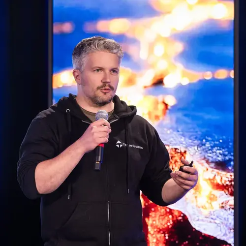
Portrait of Giovanni Beltrame

Giovanni Beltrame

Affiliate Member
Full Professor, Polytechnique Montréal, Department of Computer Engineering and Software Engineering
Research Topics
Autonomous Robotics Navigation
Computer Vision
Distributed Systems
Human-Robot Interaction
Online Learning
Reinforcement Learning
Robotics
Swarm Intelligence

Biography

Giovanni Beltrame obtained his PhD in computer engineering from Politecnico di Milano in 2006, after which he worked as a microelectronics engineer at the European Space Agency on a number of projects, from radiation-tolerant systems to computer-aided design.

In 2010, he moved to Montréal, where he is currently a professor at Polytechnique Montréal in the Computer and Software Engineering Department.

Beltrame directs the Making Innovative Space Technology (MIST) Lab, where he has more than twenty-five students and postdocs under his supervision. He has completed several projects in collaboration with industry and government agencies in the area of robotics, disaster response and space exploration. He and his team have participated in several field missions with ESA, the Canadian Space Agency (CSA) and NASA, including BRAILLE, PANAGAEA-X and IGLUNA.

His research interests include the modelling and design of embedded systems, AI and robotics, and he has published his findings in top journals and conferences.

Current Students

Collaborating researcher - Polytechnique Montréal Montreal
Co-supervisor :
PhD - Polytechnique Montréal
Co-supervisor :
Master's Research - Université de Montréal
Co-supervisor :
PhD - Polytechnique Montréal
Co-supervisor :

Publications

Real-Time Simultaneous Localization and Mapping with LiDAR intensity
Wenqiang Du
We propose a novel real-time LiDAR intensity image-based simultaneous localization and mapping method , which addresses the geometry degener… (see more)acy problem in unstructured environments. Traditional LiDAR-based front-end odometry mostly relies on geometric features such as points, lines and planes. A lack of these features in the environment can lead to the failure of the entire odometry system. To avoid this problem, we extract feature points from the LiDAR-generated point cloud that match features identified in LiDAR intensity images. We then use the extracted feature points to perform scan registration and estimate the robot ego-movement. For the back-end, we jointly optimize the distance between the corresponding feature points, and the point to plane distance for planes identified in the map. In addition, we use the features extracted from intensity images to detect loop closure candidates from previous scans and perform pose graph optimization. Our experiments show that our method can run in real time with high accuracy and works well with illumination changes, low-texture, and unstructured environments.
Reinforcement Learning with Random Delays
Action and observation delays commonly occur in many Reinforcement Learning applications, such as remote control scenarios. We study the ana… (see more)tomy of randomly delayed environments, and show that partially resampling trajectory fragments in hindsight allows for off-policy multi-step value estimation. We apply this principle to derive Delay-Correcting Actor-Critic (DCAC), an algorithm based on Soft Actor-Critic with significantly better performance in environments with delays. This is shown theoretically and also demonstrated practically on a delay-augmented version of the MuJoCo continuous control benchmark.