
Forests are major carbon sinks threatened by climate change and human activity, yet monitoring them at scale remains a great scientific challenge. To solve it, Etienne Laliberté, Full Professor at Université de Montréal and Mila, leads the Kanopia project, a research collective and open platform designed to bring accessible drone imagery and artificial intelligence to researchers, local communities, and conservation managers worldwide.
In a paper published in Methods in Ecology and Evolution, titled "Seeing both the forest and the trees: An automated workflow for ultra-high-resolution drone imaging of tropical canopies," the team unveils Harpia, an open-source workflow that automates the acquisition of high-resolution close-up photos of the canopy at an unprecedented scale.
Identifying Individual Trees
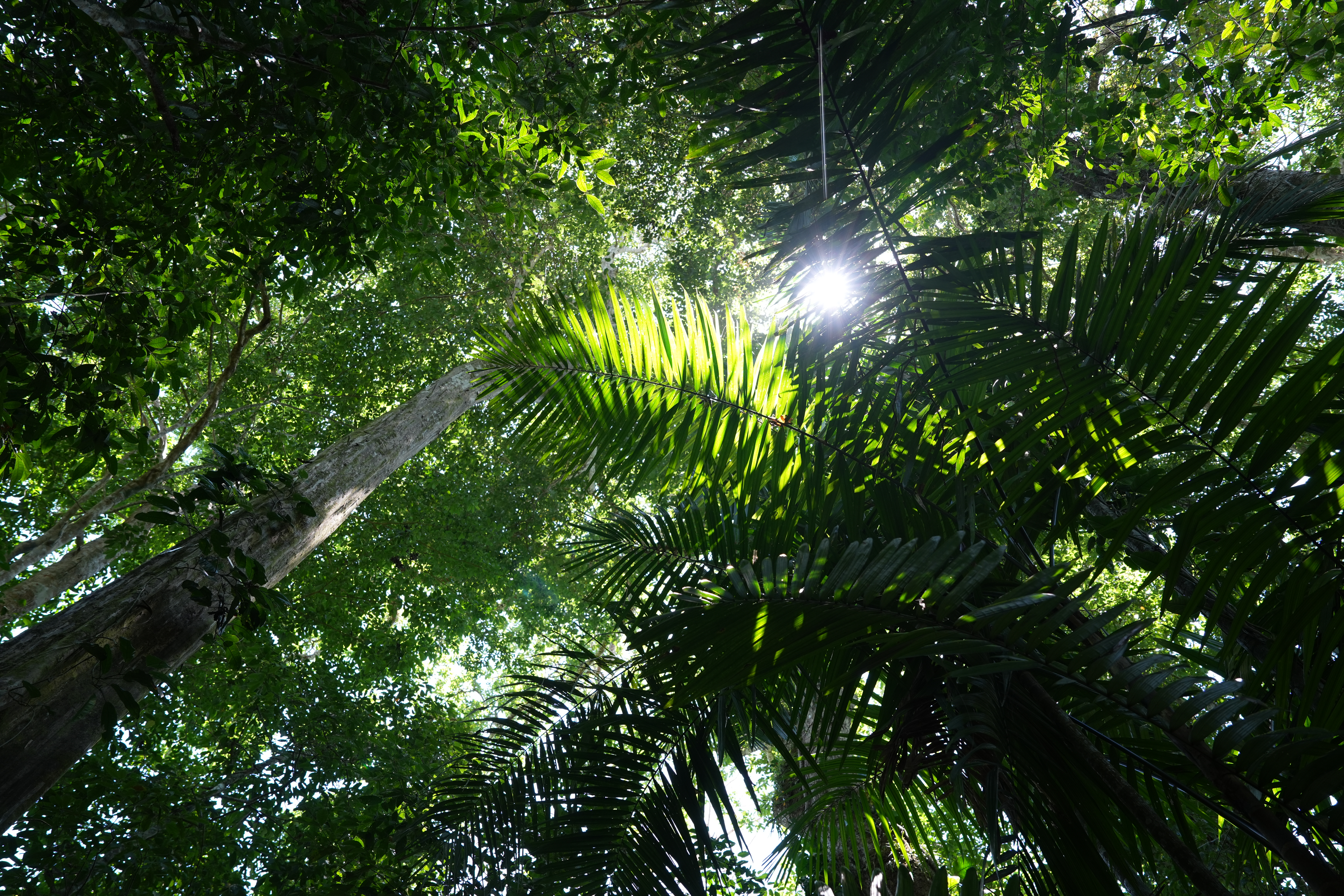
"Tropical forests are one of the largest carbon sinks on Earth," explains Etienne Laliberté. "Without tropical forests, the climate would be warmer, it would be like living with a single lung."
Protecting these fragile ecosystems requires large-scale monitoring, but ecologists have long faced a major challenge: satellites cover broad landscapes but lack species-level detail, while field surveys provide accurate identifications but cover only small areas.
"Drones bridge the gap between those two scales," he says.
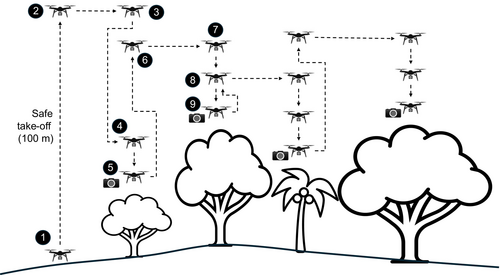
The workflow begins by mapping the forest from tens of meters above the canopy. AI algorithms then detect and delineate individual tree crowns across the resulting aerial map. Once target crowns are identified, the system programs the drone's flight path to capture macro photos of the leaves, flowers, and fruits needed to identify trees.
This autonomous workflow captures in a day what it would have taken humans months to survey.
Monitoring the Forest at Scale
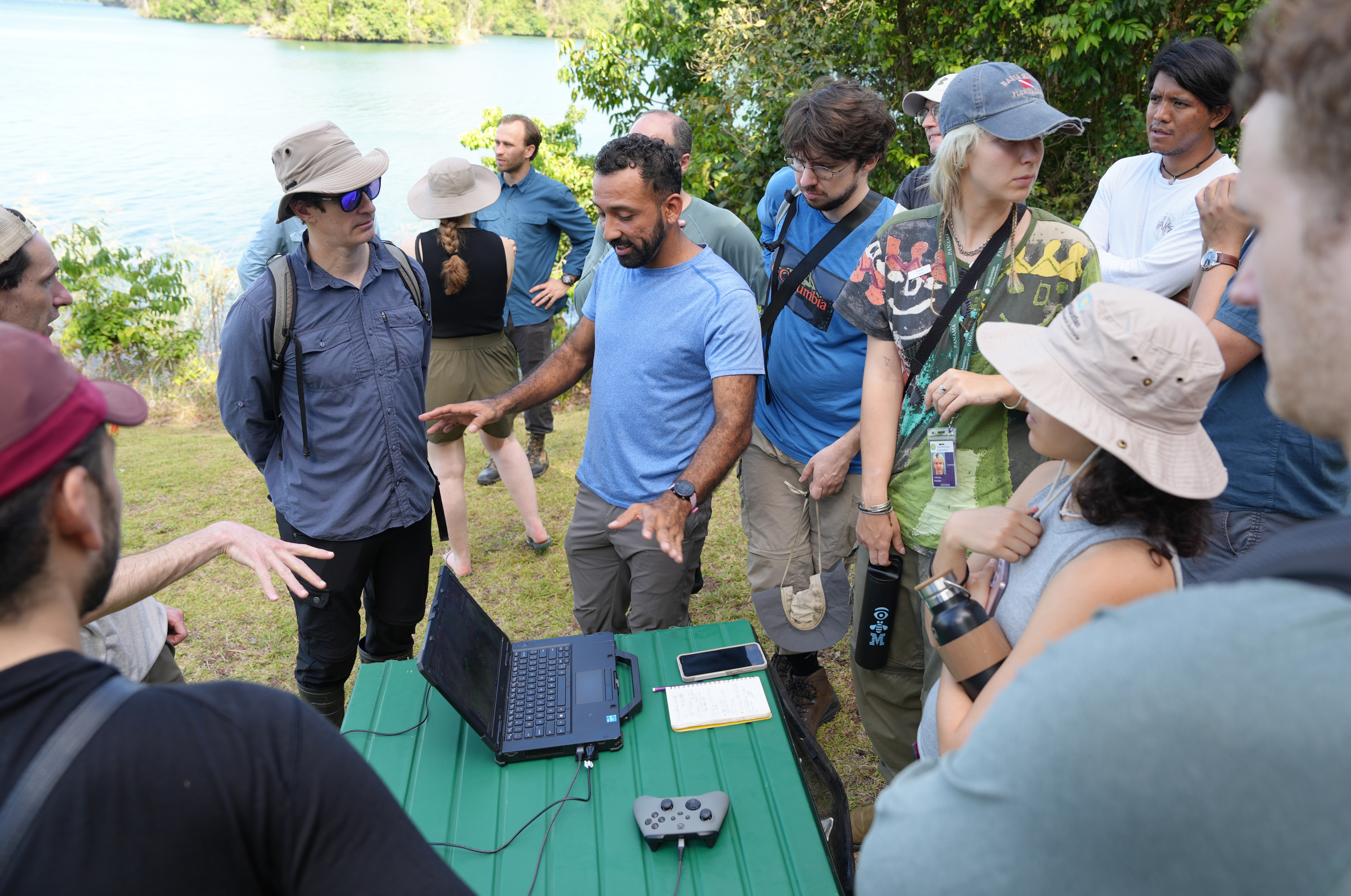
Developed as part of the team's winning XPRIZE Rainforest entry, Harpia is the open-source Python library that automates these flight missions.
Using an off-the-shelf drone, pilots first conduct a wide-angle mapping survey over areas up to 200 hectares. Photogrammetry processes this imagery into an orthomosaic and a 3D digital surface model (DSM).
Next, guided by survey-grade RTK GNSS, the drone autonomously revisits pre-selected crowns. Hovering 6 meters above the foliage, its telephoto camera captures macro images at 0.2 to 0.4 mm per pixel, sharp enough for botanists to inspect fine leaf venation, flowers, and lianas directly on screen (in fact, it is so precise that the team has even spotted a spider relaxing on a leaf).
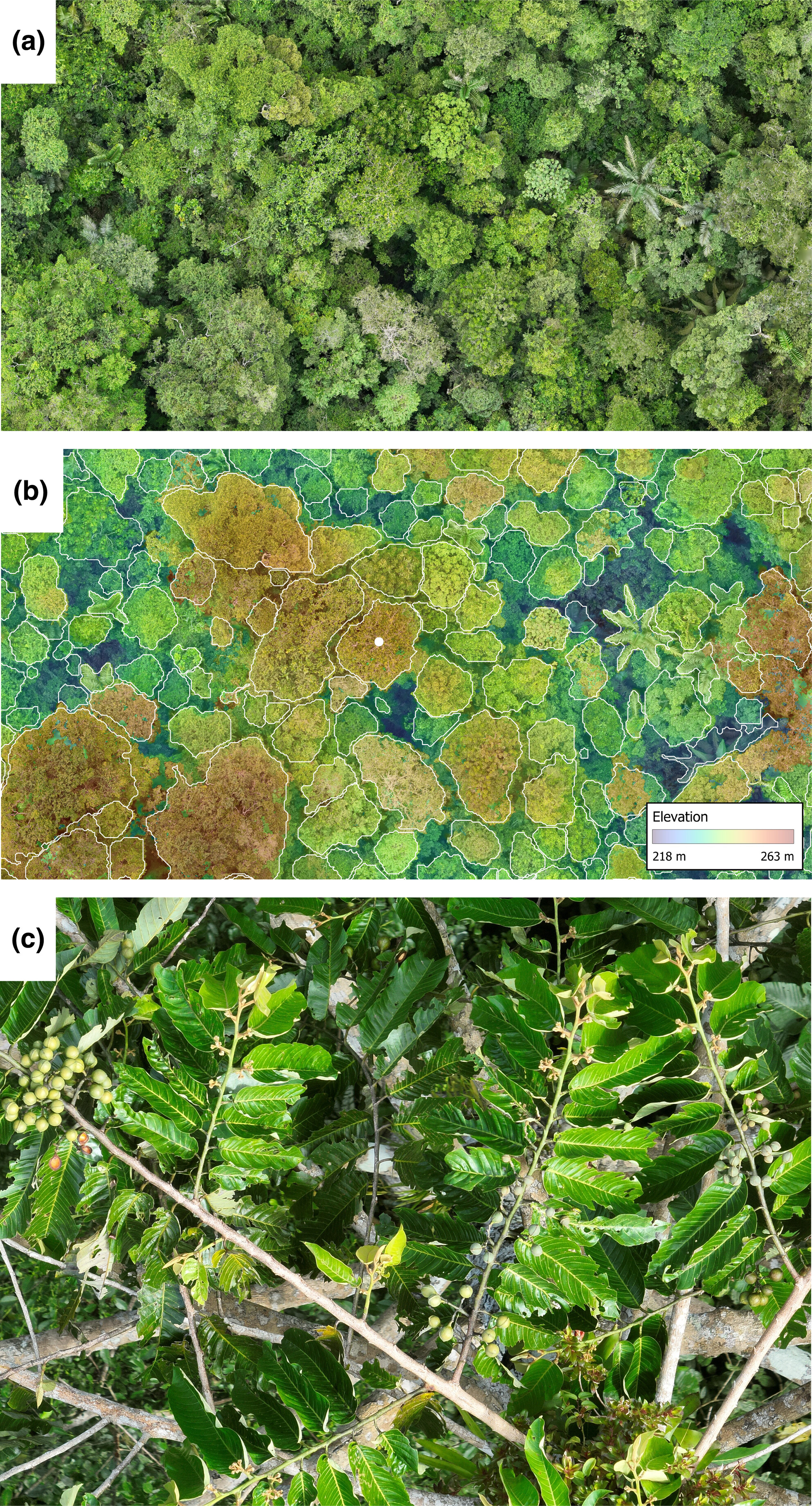
With this method, a single pilot can photograph up to 300 highly-detailed tree crowns daily (with recent field optimizations exceeding 1000) within a 3-kilometer radius from takeoff, providing access to roughly 2,800 hectares of forest from a single launch point.
Training AI Botanists
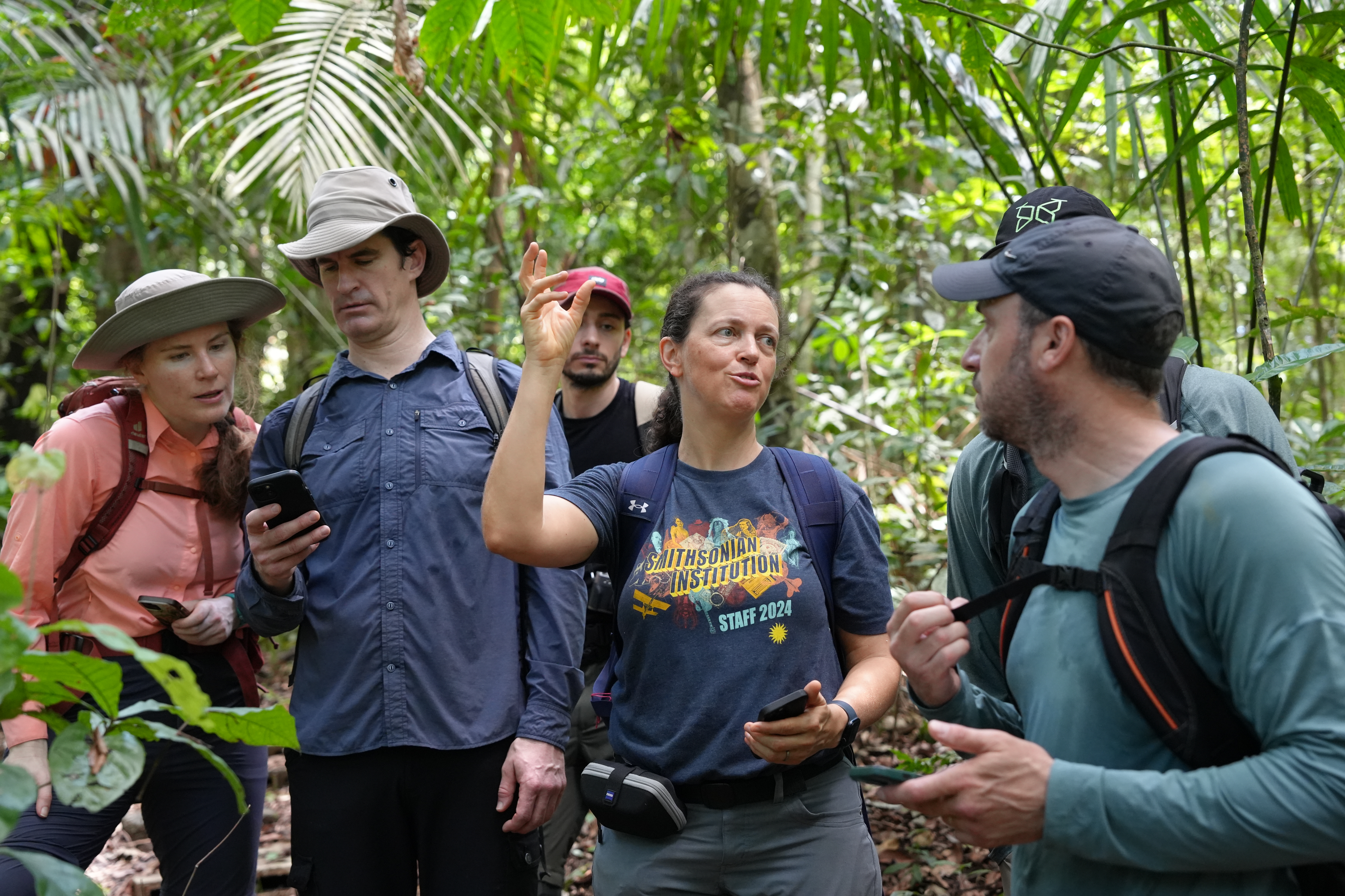
Training computer vision models to identify tree species across entire landscapes requires vast, reliable datasets. The team anchored pilot field campaigns on Panama’s Barro Colorado Island, a research station with a century of botanical records.
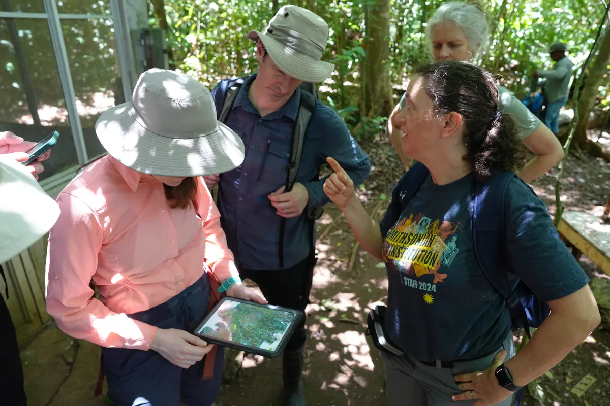
"Barro Colorado Island is one of the most well-studied tropical forests in the world," explains Helene Muller-Landau, Senior Staff Scientist at the Smithsonian Tropical Research Institute.
"One of the great things about doing this pilot work here is that we have 100 years of research on that island to build on. Because a critical part of this artificial intelligence work is to have a large, high-quality training dataset."
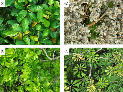
With over 24,000 canopy trees already photographed across Panama, Ecuador, and Brazil, these verified images establish the baseline on which future AI models for automated species classification in other biomes can be trained.
Open Tools to Protect Forests
Recurring drone flights also capture how forests actively respond to environmental stress.
"The Kanopia project is a big step change on how we understand tropical forests," says Adriane Esquivel-Muelbert, Head of Global Change Ecology at the Department of Plant Sciences of the University of Cambridge.
"It expands it in scale, so we understand forests at the ecosystem level, but also allows us to understand almost real-time responses to climate change."
Resolving uncertainties in vegetation models requires frequent monitoring to see how individual trees handle heat waves or droughts, for instance.
This data can help predict future climate responses, guide the selection of species for restoration programs, and allow communities to monitor the health of their forests over time.
By making this workflow fully open-source, the Kanopia project lowers cost and technical barriers by equipping conservationists with accessible tools to protect, manage, and restore vital forest ecosystems around the world.
Related video