Learning
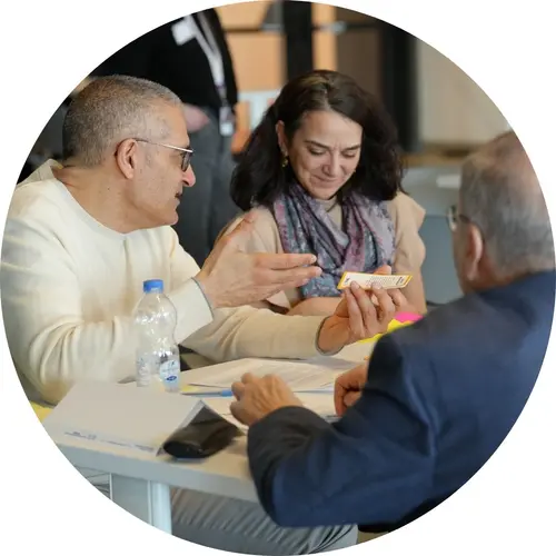
TRAIL: Responsible AI for Professionals and Leaders
Learn how to integrate responsible AI practices into your organization with TRAIL. Join the next cohort starting on April 15.
Industry
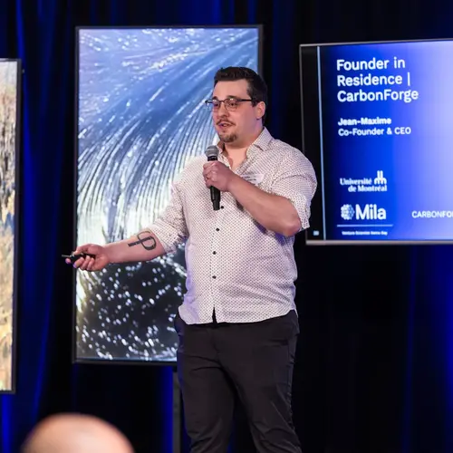
Mila Ventures Founder in Residence
Build a world-class AI startup by merging your entrepreneurial expertise with Mila’s cutting-edge research.
Learning

AI Advantage: Productivity in Public Service
Learn how to leverage generative AI to support and improve your productivity at work. The next cohort will take place online on April 28 and 30, 2026, in French.